Woodthorpe Park - once a cricket ground
Introduction
The photograph on this page of Woodthorpe Park - once a cricket ground by John Sutton as part of the Geograph project.
The Geograph project started in 2005 with the aim of publishing, organising and preserving representative images for every square kilometre of Great Britain, Ireland and the Isle of Man.

There are currently over 7.5m images from over 14,400 individuals and you can help contribute to the project by visiting https://www.geograph.org.uk
Woodthorpe Park - once a cricket ground
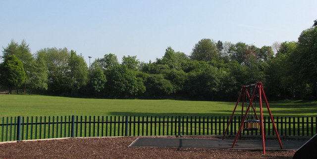
Image: © John Sutton Taken: 18 May 2010
The small park behind The Vale public house at the corner of Mansfield Road and Thackerays Lane was once home to Woodthorpe Cricket Club, for which I played in the late 1960s. There is no sign of a wicket now, or of the tennis courts which restricted the width of the cricket field - which also had such short straight boundaries that it was only a delicate chip for a six into the garden of the club president, on Park Road, to the right. The trees in the background are growing on the embankment of the short-lived Nottingham Suburban Railway, whose passenger service lasted only from 1889-1931, but which remained open until 1951 to serve Mapperley brickworks. It curved south from Daybrook Junction (just offstage left, where B&Q now stands) and passed through and under Woodthorpe Grange Park, serving stations at Sherwood and Thorneywood, before joining the Grantham line at Trent Lane Junction, trains terminating at London Road. Its course through Woodthorpe is marked by the curve of Worcester Road, while further south the almost appropriately-named Raibank Gardens is built on the trackbed.
Images are licensed for reuse under creativecommons.org/licenses/by-sa/2.0
Image Location
Latitude
52.99433
Longitude
-1.136288