Fork in Western Valley Road
Introduction
The photograph on this page of Fork in Western Valley Road by Jaggery as part of the Geograph project.
The Geograph project started in 2005 with the aim of publishing, organising and preserving representative images for every square kilometre of Great Britain, Ireland and the Isle of Man.

There are currently over 7.5m images from over 14,400 individuals and you can help contribute to the project by visiting https://www.geograph.org.uk
Fork in Western Valley Road
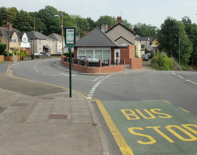
Image: © Jaggery Taken: 19 Sep 2009
Western Valley Road at this point veers to the left - straight ahead, the road's name changes to Pye Corner. Pye Corner is also the name of the junction a little further ahead, near the site of the former Bassaleg Junction railway station. http://www.geograph.org.uk/photo/1769026 Confusingly, there is also a Pye Corner http://www.geograph.org.uk/photo/1586340 in Nash at the southeast edge of Newport.
Images are licensed for reuse under creativecommons.org/licenses/by-sa/2.0
Image Location
Latitude
51.579057
Longitude
-3.039007