Mount St. Aignan Way bridge over River Eden
Introduction
The photograph on this page of Mount St. Aignan Way bridge over River Eden by David Anstiss as part of the Geograph project.
The Geograph project started in 2005 with the aim of publishing, organising and preserving representative images for every square kilometre of Great Britain, Ireland and the Isle of Man.

There are currently over 7.5m images from over 14,400 individuals and you can help contribute to the project by visiting https://www.geograph.org.uk
Mount St. Aignan Way bridge over River Eden
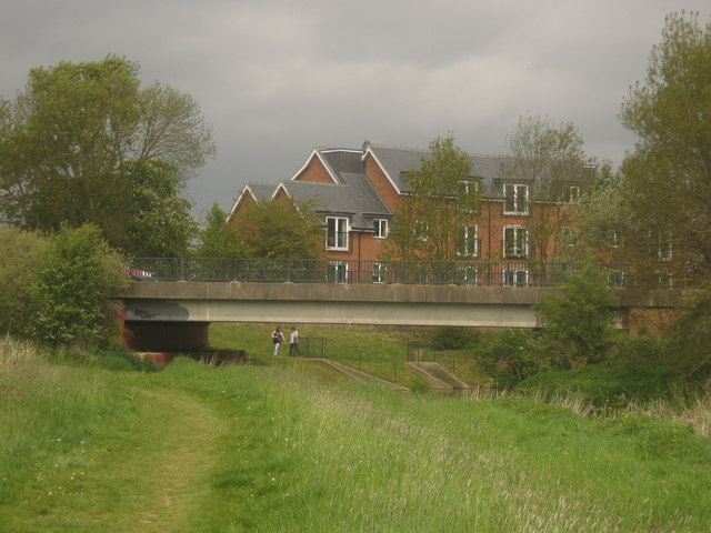
Image: © David Anstiss Taken: 16 May 2010
The B2026 used to go through the centre of Edenbridge, this bridge is part of a bypass to the high street. A riverside path follows the River Eden towards the High Street bridge.
Images are licensed for reuse under creativecommons.org/licenses/by-sa/2.0
Image Location
Latitude
51.194007
Longitude
0.064296