Nissen hut at Apperknowle
Introduction
The photograph on this page of Nissen hut at Apperknowle by Alan Murray-Rust as part of the Geograph project.
The Geograph project started in 2005 with the aim of publishing, organising and preserving representative images for every square kilometre of Great Britain, Ireland and the Isle of Man.

There are currently over 7.5m images from over 14,400 individuals and you can help contribute to the project by visiting https://www.geograph.org.uk
Nissen hut at Apperknowle
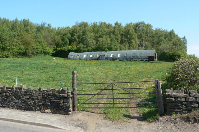
Image: © Alan Murray-Rust Taken: 18 May 2010
Showing the signs of old age, it has moulded itself to the contours of the ground. The woodland behind is natural growth on the waste tip of the former Apperknowle Colliery which appears to have operated for no more than about 10 years in the 1890s.
Images are licensed for reuse under creativecommons.org/licenses/by-sa/2.0
Image Location
Latitude
53.301906
Longitude
-1.429608