Yew Tree Lane
Introduction
The photograph on this page of Yew Tree Lane by Bill Boaden as part of the Geograph project.
The Geograph project started in 2005 with the aim of publishing, organising and preserving representative images for every square kilometre of Great Britain, Ireland and the Isle of Man.

There are currently over 7.5m images from over 14,400 individuals and you can help contribute to the project by visiting https://www.geograph.org.uk
Yew Tree Lane
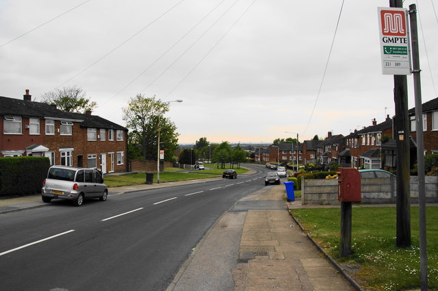
Image: © Bill Boaden Taken: 19 May 2010
A major access route for all the housing up the hill, but it is not as wide as it looks and maintains a 20 mph speed limit.
Images are licensed for reuse under creativecommons.org/licenses/by-sa/2.0
Image Location
Latitude
53.470617
Longitude
-2.065041