Darent Road, Bettws, Newport
Introduction
The photograph on this page of Darent Road, Bettws, Newport by Jaggery as part of the Geograph project.
The Geograph project started in 2005 with the aim of publishing, organising and preserving representative images for every square kilometre of Great Britain, Ireland and the Isle of Man.

There are currently over 7.5m images from over 14,400 individuals and you can help contribute to the project by visiting https://www.geograph.org.uk
Darent Road, Bettws, Newport
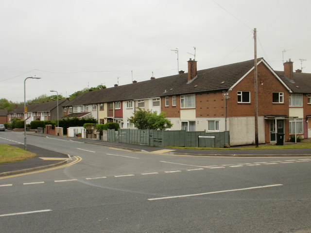
Image: © Jaggery Taken: 19 May 2010
Houses on the south side of Darent Road, viewed from Monnow Way. Most streets in Bettws are named after UK rivers.
Images are licensed for reuse under creativecommons.org/licenses/by-sa/2.0
Image Location
Latitude
51.606964
Longitude
-3.035311