B7021
Introduction
The photograph on this page of B7021 by Andy Farrington as part of the Geograph project.
The Geograph project started in 2005 with the aim of publishing, organising and preserving representative images for every square kilometre of Great Britain, Ireland and the Isle of Man.

There are currently over 7.5m images from over 14,400 individuals and you can help contribute to the project by visiting https://www.geograph.org.uk
B7021
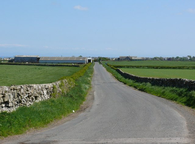
Image: © Andy Farrington Taken: 18 May 2010
View along this road which leads into Whithorn, with High Bishopton Farm left of picture
Images are licensed for reuse under creativecommons.org/licenses/by-sa/2.0
Image Location


Leaflet Map data © OpenStreetMap
Latitude
54.739756
Longitude
-4.425664