Stoodleigh: towards Oakford
Introduction
The photograph on this page of Stoodleigh: towards Oakford by Martin Bodman as part of the Geograph project.
The Geograph project started in 2005 with the aim of publishing, organising and preserving representative images for every square kilometre of Great Britain, Ireland and the Isle of Man.

There are currently over 7.5m images from over 14,400 individuals and you can help contribute to the project by visiting https://www.geograph.org.uk
Stoodleigh: towards Oakford
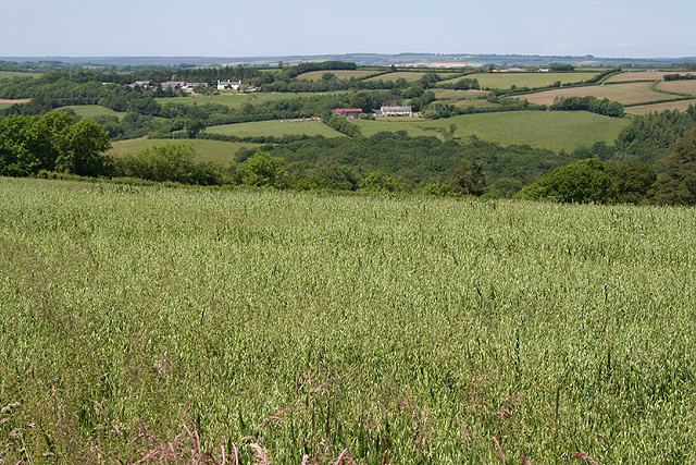
Image: © Martin Bodman Taken: 15 Jun 2006
Looking north-north-west towards the Iron Mill Stream valley and farms at Nethercott, centre, and Pinkworthy, left, in Oakford parish. Oats are growing in the field nearest the camera
Images are licensed for reuse under creativecommons.org/licenses/by-sa/2.0
Image Location
Latitude
50.96452
Longitude
-3.557835