Stream near Mill Ennis
Introduction
The photograph on this page of Stream near Mill Ennis by Derek Harper as part of the Geograph project.
The Geograph project started in 2005 with the aim of publishing, organising and preserving representative images for every square kilometre of Great Britain, Ireland and the Isle of Man.

There are currently over 7.5m images from over 14,400 individuals and you can help contribute to the project by visiting https://www.geograph.org.uk
Stream near Mill Ennis
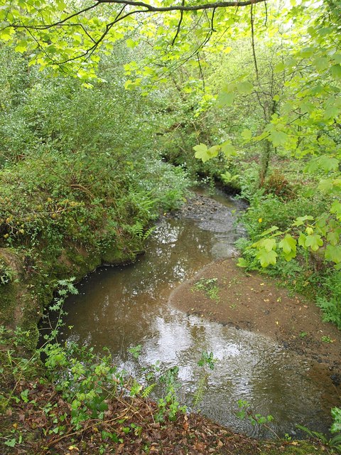
Image: © Derek Harper Taken: 14 May 2010
This seems to be where footpath 417/6/1 crosses this stream, a tributary of the River Gunnel, but there was no obvious way across, so I continued along the south side, not without difficulty. Footpath 417/6/1 is classified silver, making you wonder about the wisdom of trying to follow a bronze footpath. Naturally, the OS map does not distinguish between these classifications; Cornwall really needs to rethink its footpath policy if it is to attract walkers.
Images are licensed for reuse under creativecommons.org/licenses/by-sa/2.0
Image Location
Latitude
50.387859
Longitude
-4.956968