Barton Lane
Introduction
The photograph on this page of Barton Lane by Derek Harper as part of the Geograph project.
The Geograph project started in 2005 with the aim of publishing, organising and preserving representative images for every square kilometre of Great Britain, Ireland and the Isle of Man.

There are currently over 7.5m images from over 14,400 individuals and you can help contribute to the project by visiting https://www.geograph.org.uk
Barton Lane
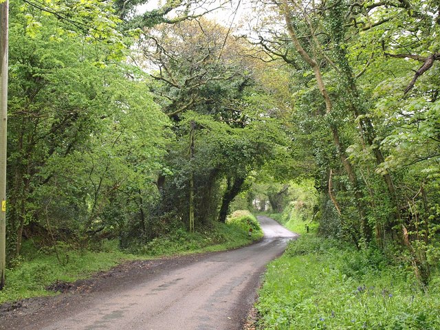
Image: © Derek Harper Taken: 14 May 2010
A winding lane from Fraddon to White Cross, here passing Mill Ennis and crossing a tributary of the River Gunnel through an area of woodland.
Images are licensed for reuse under creativecommons.org/licenses/by-sa/2.0
Image Location
Latitude
50.388365
Longitude
-4.954748