Road from Penhale Roundabout
Introduction
The photograph on this page of Road from Penhale Roundabout by Derek Harper as part of the Geograph project.
The Geograph project started in 2005 with the aim of publishing, organising and preserving representative images for every square kilometre of Great Britain, Ireland and the Isle of Man.

There are currently over 7.5m images from over 14,400 individuals and you can help contribute to the project by visiting https://www.geograph.org.uk
Road from Penhale Roundabout
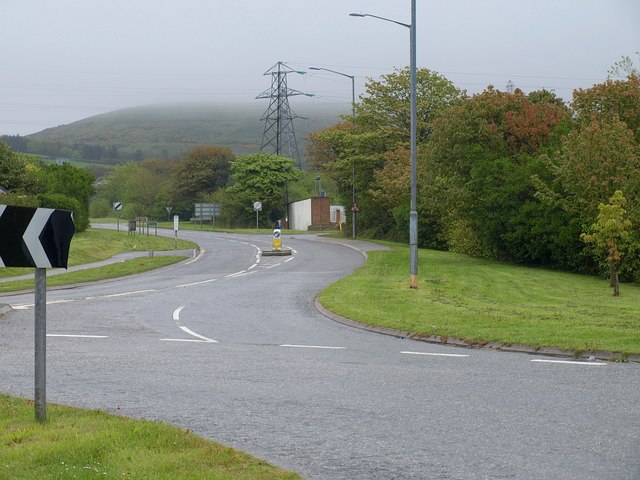
Image: © Derek Harper Taken: 14 May 2010
This view of Image looks along the B3275 which leads to the slip roads for the A30 dual carriageway and then loses its B classification to become the C8 to Scarcewater. In the background, cloud hangs low over the spoil heap west of Wheal Remfry China Clay Pit.
Images are licensed for reuse under creativecommons.org/licenses/by-sa/2.0
Image Location
Latitude
50.378857
Longitude
-4.943043