Footpath to Kingham [3]
Introduction
The photograph on this page of Footpath to Kingham [3] by Michael Dibb as part of the Geograph project.
The Geograph project started in 2005 with the aim of publishing, organising and preserving representative images for every square kilometre of Great Britain, Ireland and the Isle of Man.

There are currently over 7.5m images from over 14,400 individuals and you can help contribute to the project by visiting https://www.geograph.org.uk
Footpath to Kingham [3]
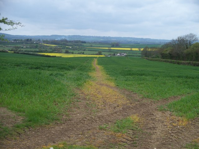
Image: © Michael Dibb Taken: 30 Apr 2010
The path continues to cross open fields. Kingham can be seen to the left whilst on the skyline can be made out the tower of the church of St Edward in Stow-on-the-Wold Image
Images are licensed for reuse under creativecommons.org/licenses/by-sa/2.0
Image Location


Leaflet Map data © OpenStreetMap
Latitude
51.916539
Longitude
-1.59722