Footpath to Kingham [1]
Introduction
The photograph on this page of Footpath to Kingham [1] by Michael Dibb as part of the Geograph project.
The Geograph project started in 2005 with the aim of publishing, organising and preserving representative images for every square kilometre of Great Britain, Ireland and the Isle of Man.

There are currently over 7.5m images from over 14,400 individuals and you can help contribute to the project by visiting https://www.geograph.org.uk
Footpath to Kingham [1]
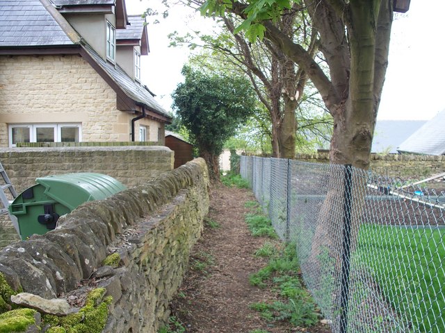
Image: © Michael Dibb Taken: 30 Apr 2010
The footpath leaves the B4055 road and initially passes along this narrow track through the village.
Images are licensed for reuse under creativecommons.org/licenses/by-sa/2.0
Image Location
Latitude
51.915081
Longitude
-1.591563