Dourie Farm
Introduction
The photograph on this page of Dourie Farm by Andy Farrington as part of the Geograph project.
The Geograph project started in 2005 with the aim of publishing, organising and preserving representative images for every square kilometre of Great Britain, Ireland and the Isle of Man.

There are currently over 7.5m images from over 14,400 individuals and you can help contribute to the project by visiting https://www.geograph.org.uk
Dourie Farm
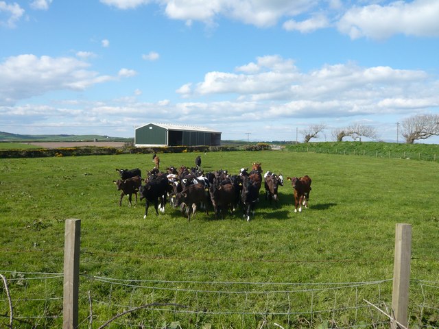
Image: © Andy Farrington Taken: 8 May 2010
The usual mad rush of young cattle to get their picture taken just outside Port William
Images are licensed for reuse under creativecommons.org/licenses/by-sa/2.0
Image Location
Latitude
54.758126
Longitude
-4.576606