Trundlebeer
Introduction
The photograph on this page of Trundlebeer by Derek Harper as part of the Geograph project.
The Geograph project started in 2005 with the aim of publishing, organising and preserving representative images for every square kilometre of Great Britain, Ireland and the Isle of Man.

There are currently over 7.5m images from over 14,400 individuals and you can help contribute to the project by visiting https://www.geograph.org.uk
Trundlebeer
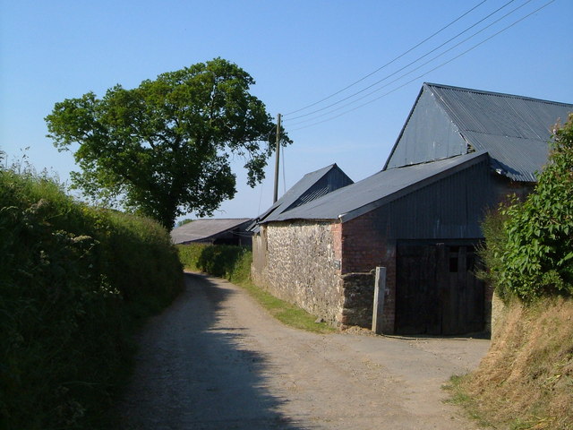
Image: © Derek Harper Taken: 8 Jun 2006
Roofs at a variety of slopes at Trundlebeer farm, on a lane near the A30 not far from South Tawton.
Images are licensed for reuse under creativecommons.org/licenses/by-sa/2.0
Image Location
Latitude
50.735696
Longitude
-3.888932