Sheffield: view along Fargate and farther afield
Introduction
The photograph on this page of Sheffield: view along Fargate and farther afield by Chris Downer as part of the Geograph project.
The Geograph project started in 2005 with the aim of publishing, organising and preserving representative images for every square kilometre of Great Britain, Ireland and the Isle of Man.

There are currently over 7.5m images from over 14,400 individuals and you can help contribute to the project by visiting https://www.geograph.org.uk
Sheffield: view along Fargate and farther afield
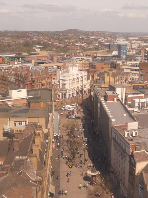
Image: © Chris Downer Taken: 20 Apr 2010
A view from Image, similar to Image but from higher up and thus bringing into the picture much of the northern suburbs of the city and the countryside beyond.
Images are licensed for reuse under creativecommons.org/licenses/by-sa/2.0
Image Location


Leaflet Map data © OpenStreetMap
Latitude
53.382084
Longitude
-1.468376