Henry Street, Kenilworth
Introduction
The photograph on this page of Henry Street, Kenilworth by John Brightley as part of the Geograph project.
The Geograph project started in 2005 with the aim of publishing, organising and preserving representative images for every square kilometre of Great Britain, Ireland and the Isle of Man.

There are currently over 7.5m images from over 14,400 individuals and you can help contribute to the project by visiting https://www.geograph.org.uk
Henry Street, Kenilworth
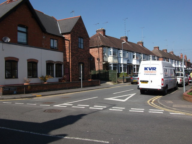
Image: © John Brightley Taken: 17 Apr 2010
The north-west side of the street seen from Spring Lane. The victorian building on the left- now flats - has a Spring Lane address. All the other houses in this view (2 - 26 Henry Street), were built in the 1930's on a site which was previously a timber yard.
Images are licensed for reuse under creativecommons.org/licenses/by-sa/2.0
Image Location
Latitude
52.347462
Longitude
-1.5735