Upper Cockington Lane
Introduction
The photograph on this page of Upper Cockington Lane by Derek Harper as part of the Geograph project.
The Geograph project started in 2005 with the aim of publishing, organising and preserving representative images for every square kilometre of Great Britain, Ireland and the Isle of Man.

There are currently over 7.5m images from over 14,400 individuals and you can help contribute to the project by visiting https://www.geograph.org.uk
Upper Cockington Lane
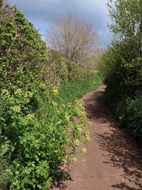
Image: © Derek Harper Taken: 12 May 2010
Once one of the few roads in the vicinity, this part of the lane is now reduced to a footpath (TQ 180) running between Drake Avenue and Armada Park recreation ground. https://www.heritagegateway.org.uk/Gateway/Results_Single.aspx?uid=MDV123632&resourceID=104 describes its former significance as a route. Here Alexanders reaches out across the tarmac.
Images are licensed for reuse under creativecommons.org/licenses/by-sa/2.0
Image Location
Latitude
50.472162
Longitude
-3.562589