Vears Lane seen from Church Lane, Colden Common
Introduction
The photograph on this page of Vears Lane seen from Church Lane, Colden Common by Peter Facey as part of the Geograph project.
The Geograph project started in 2005 with the aim of publishing, organising and preserving representative images for every square kilometre of Great Britain, Ireland and the Isle of Man.

There are currently over 7.5m images from over 14,400 individuals and you can help contribute to the project by visiting https://www.geograph.org.uk
Vears Lane seen from Church Lane, Colden Common
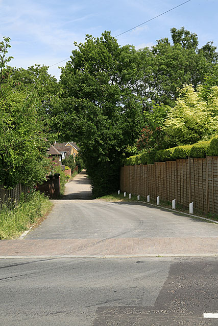
Image: © Peter Facey Taken: 11 Jun 2006
This lane is one of the older parts of Colden Common. Today it is surrounded by later housing developments and cut in two by St Vigor Way.
Images are licensed for reuse under creativecommons.org/licenses/by-sa/2.0
Image Location
Latitude
50.991435
Longitude
-1.31575