Upper Moors Road south of its junction with Tees Farm Road
Introduction
The photograph on this page of Upper Moors Road south of its junction with Tees Farm Road by Peter Facey as part of the Geograph project.
The Geograph project started in 2005 with the aim of publishing, organising and preserving representative images for every square kilometre of Great Britain, Ireland and the Isle of Man.

There are currently over 7.5m images from over 14,400 individuals and you can help contribute to the project by visiting https://www.geograph.org.uk
Upper Moors Road south of its junction with Tees Farm Road
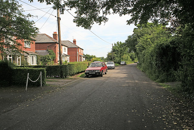
Image: © Peter Facey Taken: 11 Jun 2006
One of the older parts of Colden Common, although not old enough to be shown on the 1940s OS map.
Images are licensed for reuse under creativecommons.org/licenses/by-sa/2.0
Image Location
Latitude
50.99373
Longitude
-1.323838