Welcome to St Brides
Introduction
The photograph on this page of Welcome to St Brides by Jaggery as part of the Geograph project.
The Geograph project started in 2005 with the aim of publishing, organising and preserving representative images for every square kilometre of Great Britain, Ireland and the Isle of Man.

There are currently over 7.5m images from over 14,400 individuals and you can help contribute to the project by visiting https://www.geograph.org.uk
Welcome to St Brides
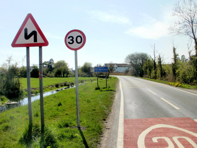
Image: © Jaggery Taken: 22 Apr 2010
The B4239 reaches the eastern edge of St Brides. The sign shows St Brides, not St Brides Wentlooge, the name shown on maps to distinguish it from other St Brides. Another sign emphasises the point that, though the roads locally are flat, they are not always straight.
Images are licensed for reuse under creativecommons.org/licenses/by-sa/2.0
Image Location
Latitude
51.534272
Longitude
-3.019243