St John's Lye
Introduction
The photograph on this page of St John's Lye by Alan Hunt as part of the Geograph project.
The Geograph project started in 2005 with the aim of publishing, organising and preserving representative images for every square kilometre of Great Britain, Ireland and the Isle of Man.

There are currently over 7.5m images from over 14,400 individuals and you can help contribute to the project by visiting https://www.geograph.org.uk
St John's Lye
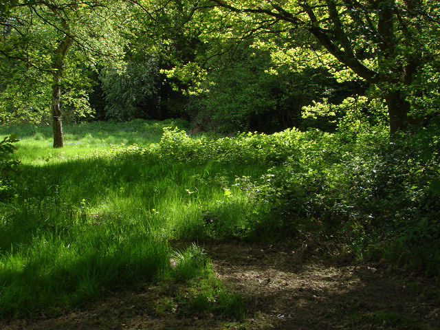
Image: © Alan Hunt Taken: 15 May 2010
An untended part of the green on the edge of the wooded area. Although this has all the appearances of a tranquil woodland scene there is a noisy play area just behind the photographer and the houses of St John's to the left of shot.
Images are licensed for reuse under creativecommons.org/licenses/by-sa/2.0
Image Location
Latitude
51.309987
Longitude
-0.59539