Hook Heath Golf Course
Introduction
The photograph on this page of Hook Heath Golf Course by Alan Hunt as part of the Geograph project.
The Geograph project started in 2005 with the aim of publishing, organising and preserving representative images for every square kilometre of Great Britain, Ireland and the Isle of Man.

There are currently over 7.5m images from over 14,400 individuals and you can help contribute to the project by visiting https://www.geograph.org.uk
Hook Heath Golf Course
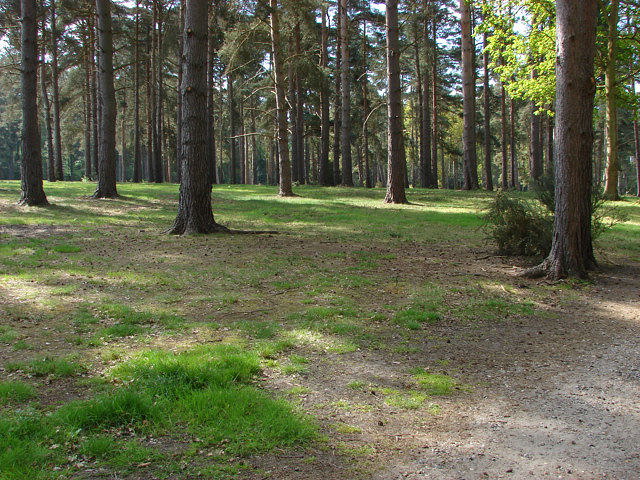
Image: © Alan Hunt Taken: 15 May 2010
Pine woodland between the greens. Lying on the Bagshot beds the course is a typical lowland heath in appearance. The land originally belonged to the London Necropolis Company who developed Brookwood Cemetery. The excess land was sold and became the Hook Heath and West Heath golf courses.
Images are licensed for reuse under creativecommons.org/licenses/by-sa/2.0
Image Location
Latitude
51.302796
Longitude
-0.59561