Entering the hamlet of Warwicksland from the north
Introduction
The photograph on this page of Entering the hamlet of Warwicksland from the north by Rose and Trev Clough as part of the Geograph project.
The Geograph project started in 2005 with the aim of publishing, organising and preserving representative images for every square kilometre of Great Britain, Ireland and the Isle of Man.

There are currently over 7.5m images from over 14,400 individuals and you can help contribute to the project by visiting https://www.geograph.org.uk
Entering the hamlet of Warwicksland from the north
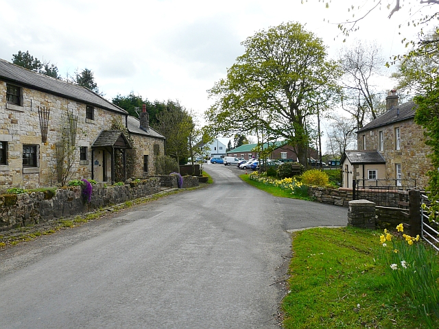
Image: © Rose and Trev Clough Taken: 3 May 2010
Quite a lot of cars at the Nicholforest Public Hall (green roof, centre) for an art show. We have found place names around here confusing - this hamlet is in the parish of Nicholforest and the postal address is Penton, but neither of these two places has a defined centre. The local church website helps to clarify the layout of the area http://www.eskparishes.co.uk/nicholforest.html .
Images are licensed for reuse under creativecommons.org/licenses/by-sa/2.0
Image Location
Latitude
55.087696
Longitude
-2.864141