Bowles Green
Introduction
The photograph on this page of Bowles Green by Oast House Archive as part of the Geograph project.
The Geograph project started in 2005 with the aim of publishing, organising and preserving representative images for every square kilometre of Great Britain, Ireland and the Isle of Man.

There are currently over 7.5m images from over 14,400 individuals and you can help contribute to the project by visiting https://www.geograph.org.uk
Bowles Green
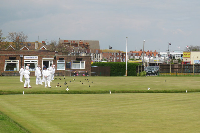
Image: © Oast House Archive Taken: 15 May 2010
Parade bowling club, situated been Royal Parade road and the beach. See more sizes for wider image.
Images are licensed for reuse under creativecommons.org/licenses/by-sa/2.0
Image Location
Latitude
50.774984
Longitude
0.300683