Tarnflat
Introduction
The photograph on this page of Tarnflat by Alexander P Kapp as part of the Geograph project.
The Geograph project started in 2005 with the aim of publishing, organising and preserving representative images for every square kilometre of Great Britain, Ireland and the Isle of Man.

There are currently over 7.5m images from over 14,400 individuals and you can help contribute to the project by visiting https://www.geograph.org.uk
Tarnflat
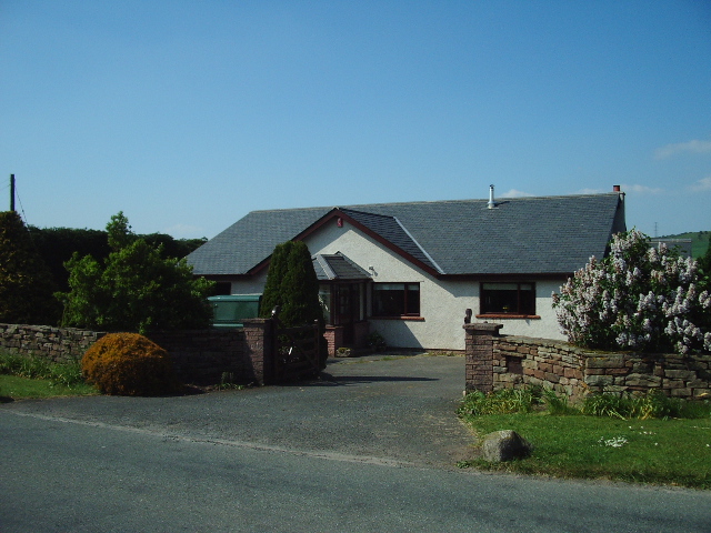
Image: © Alexander P Kapp Taken: 9 Jun 2006
On the 1940s one inch map of the area, this was woodland along this stretch of road, now cleared and used as arable and for housing
Images are licensed for reuse under creativecommons.org/licenses/by-sa/2.0
Image Location


Leaflet Map data © OpenStreetMap
Latitude
54.761342
Longitude
-2.792523