Aikbank Cottages
Introduction
The photograph on this page of Aikbank Cottages by Alexander P Kapp as part of the Geograph project.
The Geograph project started in 2005 with the aim of publishing, organising and preserving representative images for every square kilometre of Great Britain, Ireland and the Isle of Man.

There are currently over 7.5m images from over 14,400 individuals and you can help contribute to the project by visiting https://www.geograph.org.uk
Aikbank Cottages
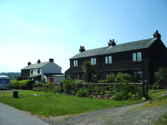
Image: © Alexander P Kapp Taken: 9 Jun 2006
Probably built in the 1950s 60s as council houses for workers in rural areas, now privately owned.
Images are licensed for reuse under creativecommons.org/licenses/by-sa/2.0
Image Location
Latitude
54.752306
Longitude
-2.800115