B2141 South of Chilgrove
Introduction
The photograph on this page of B2141 South of Chilgrove by John Fielding as part of the Geograph project.
The Geograph project started in 2005 with the aim of publishing, organising and preserving representative images for every square kilometre of Great Britain, Ireland and the Isle of Man.

There are currently over 7.5m images from over 14,400 individuals and you can help contribute to the project by visiting https://www.geograph.org.uk
B2141 South of Chilgrove
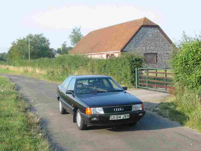
Image: © John Fielding Taken: Unknown
According to the OS 1:25000 map, this fine flint-walled building is a "Ppg Sta". The fine black car is a 1989 Audi 100 2.2e
Images are licensed for reuse under creativecommons.org/licenses/by-sa/2.0
Image Location
Latitude
50.905218
Longitude
-0.813263