The Cloisters - Wingate
Introduction
The photograph on this page of The Cloisters - Wingate by Philip Barker as part of the Geograph project.
The Geograph project started in 2005 with the aim of publishing, organising and preserving representative images for every square kilometre of Great Britain, Ireland and the Isle of Man.

There are currently over 7.5m images from over 14,400 individuals and you can help contribute to the project by visiting https://www.geograph.org.uk
The Cloisters - Wingate
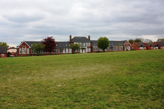
Image: © Philip Barker Taken: 14 May 2010
This photograph shows a view of the old A.J. Dawson's grammar school in Wingate. After it ceased functioning as a school building the premises was converted into apartments. The grassed area in the foreground of the image formed the school playing field. The picture was taken looking in a south-south-westerly direction towards Low Grange Farm.
Images are licensed for reuse under creativecommons.org/licenses/by-sa/2.0
Image Location
Latitude
54.736274
Longitude
-1.37719