The Hamlet of Piccadilly
Introduction
The photograph on this page of The Hamlet of Piccadilly by Mick Kaye as part of the Geograph project.
The Geograph project started in 2005 with the aim of publishing, organising and preserving representative images for every square kilometre of Great Britain, Ireland and the Isle of Man.

There are currently over 7.5m images from over 14,400 individuals and you can help contribute to the project by visiting https://www.geograph.org.uk
The Hamlet of Piccadilly
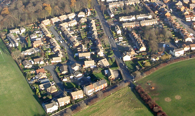
Image: © Mick Kaye Taken: Unknown
This photo was taken from 1000 feet AGL, centre right is the pub High House on the B6090 showing the "T" junction with Piccadilly Road.
Images are licensed for reuse under creativecommons.org/licenses/by-sa/2.0
Image Location
Latitude
53.476805
Longitude
-1.322398