Underpass Overpass
Introduction
The photograph on this page of Underpass Overpass by Tony Atkin as part of the Geograph project.
The Geograph project started in 2005 with the aim of publishing, organising and preserving representative images for every square kilometre of Great Britain, Ireland and the Isle of Man.

There are currently over 7.5m images from over 14,400 individuals and you can help contribute to the project by visiting https://www.geograph.org.uk
Underpass Overpass
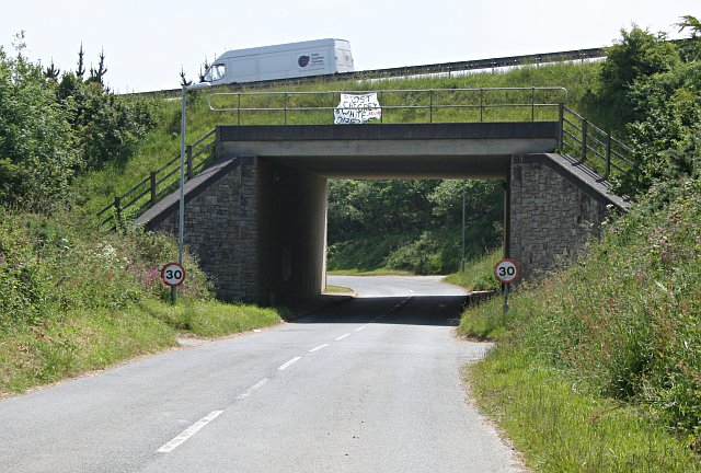
Image: © Tony Atkin Taken: 10 Jun 2006
The A30 trunk road passes over the top of the local road to the village of Mitchell, which used to be the main road before the building of the bypass. The sheet pinned up on the railings asks if anyone has seen a lost cat. This cat must have been lost quite a way from home as the contact number given has a Plymouth area code.
Images are licensed for reuse under creativecommons.org/licenses/by-sa/2.0
Image Location
Latitude
50.350383
Longitude
-5.015091