Monarch's Way in Upton Cheyney
Introduction
The photograph on this page of Monarch's Way in Upton Cheyney by Derek Harper as part of the Geograph project.
The Geograph project started in 2005 with the aim of publishing, organising and preserving representative images for every square kilometre of Great Britain, Ireland and the Isle of Man.

There are currently over 7.5m images from over 14,400 individuals and you can help contribute to the project by visiting https://www.geograph.org.uk
Monarch's Way in Upton Cheyney
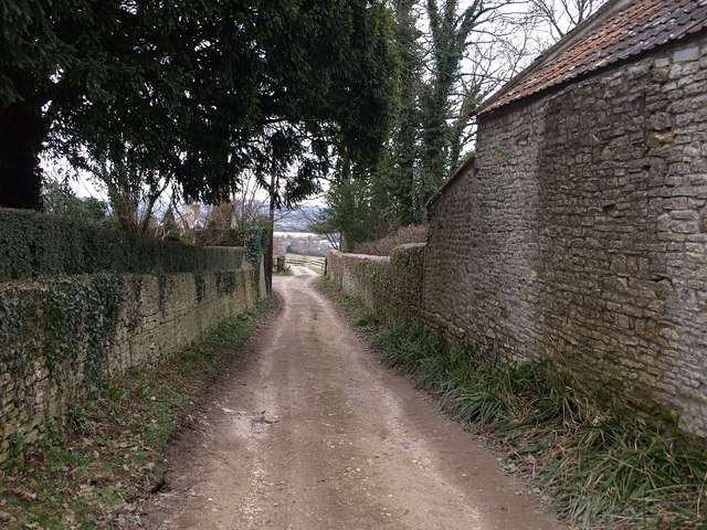
Image: © Derek Harper Taken: 9 Mar 2010
The Way leaves the village down this walled track, following footpath PBN 33.
Images are licensed for reuse under creativecommons.org/licenses/by-sa/2.0
Image Location
Latitude
51.426989
Longitude
-2.445399