Site of Callington Station
Introduction
The photograph on this page of Site of Callington Station by Ben Brooksbank as part of the Geograph project.
The Geograph project started in 2005 with the aim of publishing, organising and preserving representative images for every square kilometre of Great Britain, Ireland and the Isle of Man.

There are currently over 7.5m images from over 14,400 individuals and you can help contribute to the project by visiting https://www.geograph.org.uk
Site of Callington Station
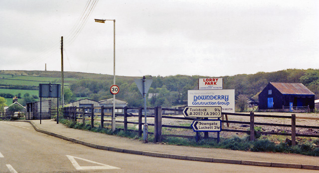
Image: © Ben Brooksbank Taken: 2 May 1987
View eastward, towards Bere Alston and Plymouth; ex-LSW (PD&SWJ) terminus of the branch from Bere Alston. Originally 'Kelly Bray', at which locality it was sited (1¼ miles from Callington). The station was closed on 7/11/66 with the line west from Gunnislake, but is planned to be reopened by a local Heritage Group.
Images are licensed for reuse under creativecommons.org/licenses/by-sa/2.0
Image Location
Latitude
50.519891
Longitude
-4.314671