Looking up Brown's Hill Steps
Introduction
The photograph on this page of Looking up Brown's Hill Steps by Robin Drayton as part of the Geograph project.
The Geograph project started in 2005 with the aim of publishing, organising and preserving representative images for every square kilometre of Great Britain, Ireland and the Isle of Man.

There are currently over 7.5m images from over 14,400 individuals and you can help contribute to the project by visiting https://www.geograph.org.uk
Looking up Brown's Hill Steps
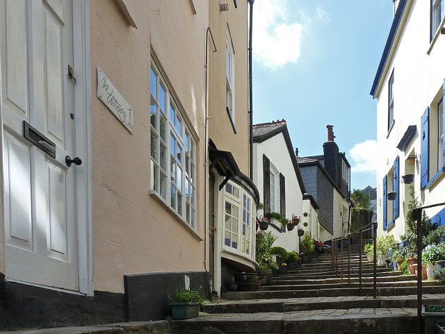
Image: © Robin Drayton Taken: 26 Apr 2010
This was once the main packhorse route out of Dartmouth before roads existed for wheeled traffic. For a view coming down see http://www.geograph.org.uk/photo/1855489 .
Images are licensed for reuse under creativecommons.org/licenses/by-sa/2.0
Image Location
Latitude
50.353623
Longitude
-3.582591