Limekiln on Carmel Road
Introduction
The photograph on this page of Limekiln on Carmel Road by Marion Phillips as part of the Geograph project.
The Geograph project started in 2005 with the aim of publishing, organising and preserving representative images for every square kilometre of Great Britain, Ireland and the Isle of Man.

There are currently over 7.5m images from over 14,400 individuals and you can help contribute to the project by visiting https://www.geograph.org.uk
Limekiln on Carmel Road
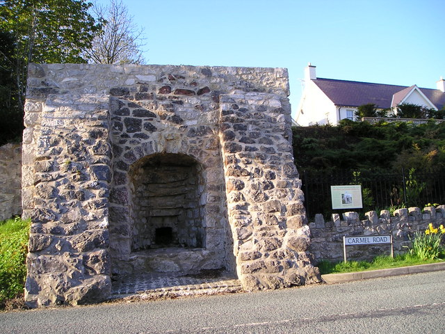
Image: © Marion Phillips Taken: 9 May 2010
The inscription states that this was one of four limekilns in the parish of Whitford and that a mixture of coal and crushed limestone was fed into the top of the kiln and quicklime extracted from the bottom.
Images are licensed for reuse under creativecommons.org/licenses/by-sa/2.0
Image Location
Latitude
53.280811
Longitude
-3.26641