Little Aston Mill
Introduction
The photograph on this page of Little Aston Mill by Michael Dibb as part of the Geograph project.
The Geograph project started in 2005 with the aim of publishing, organising and preserving representative images for every square kilometre of Great Britain, Ireland and the Isle of Man.

There are currently over 7.5m images from over 14,400 individuals and you can help contribute to the project by visiting https://www.geograph.org.uk
Little Aston Mill
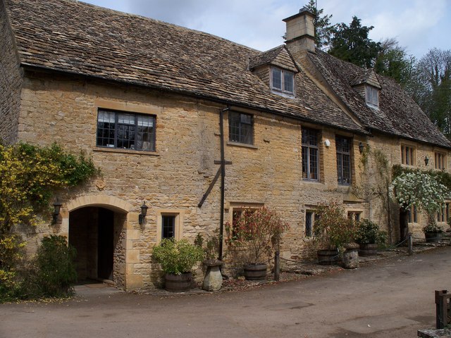
Image: © Michael Dibb Taken: 26 Apr 2010
The mill is alongside the River Windrush. Three long distance paths cross the river at this point. The combined Gloucestershire Way and Macmillan Way come south from Lower Slaughter and continue to Cold Aston. The Windrush Way changes from the south bank (west of the bridge) to the north bank (east of the bridge).
Images are licensed for reuse under creativecommons.org/licenses/by-sa/2.0
Image Location
Latitude
51.890326
Longitude
-1.783883