Newlyn Drive
Introduction
The photograph on this page of Newlyn Drive by John Sutton as part of the Geograph project.
The Geograph project started in 2005 with the aim of publishing, organising and preserving representative images for every square kilometre of Great Britain, Ireland and the Isle of Man.

There are currently over 7.5m images from over 14,400 individuals and you can help contribute to the project by visiting https://www.geograph.org.uk
Newlyn Drive
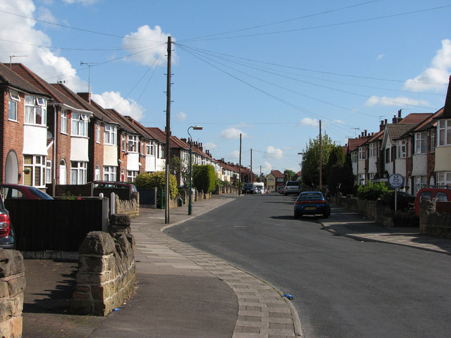
Image: © John Sutton Taken: 11 May 2010
This road of detached houses is very typical of the western suburbs developed in the 1930s. I must have walked or cycled along here many times in the 1950s (when most of the window and door woodwork was green-and-cream, or grained), on my way to play at Melbourne Park, which is behind the houses on the left.
Images are licensed for reuse under creativecommons.org/licenses/by-sa/2.0
Image Location
Latitude
52.971325
Longitude
-1.188567