Meadowhead Farm
Introduction
The photograph on this page of Meadowhead Farm by Ian Rainey as part of the Geograph project.
The Geograph project started in 2005 with the aim of publishing, organising and preserving representative images for every square kilometre of Great Britain, Ireland and the Isle of Man.

There are currently over 7.5m images from over 14,400 individuals and you can help contribute to the project by visiting https://www.geograph.org.uk
Meadowhead Farm
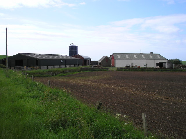
Image: © Ian Rainey Taken: 13 Jun 2006
The Ordnance Survey map shows this grid as having a minor road which passes through this farm and then joining the A78 coast road, but unless you have a 4x4 off road vehicle I wouldn't advise this route as it is very overgrown with a poor road surface ( ie no road surface )
Images are licensed for reuse under creativecommons.org/licenses/by-sa/2.0
Image Location
Latitude
55.682656
Longitude
-4.840739