The Thatched Cottage, Betsy Lane, Bransgore
Introduction
The photograph on this page of The Thatched Cottage, Betsy Lane, Bransgore by Peter Facey as part of the Geograph project.
The Geograph project started in 2005 with the aim of publishing, organising and preserving representative images for every square kilometre of Great Britain, Ireland and the Isle of Man.

There are currently over 7.5m images from over 14,400 individuals and you can help contribute to the project by visiting https://www.geograph.org.uk
The Thatched Cottage, Betsy Lane, Bransgore
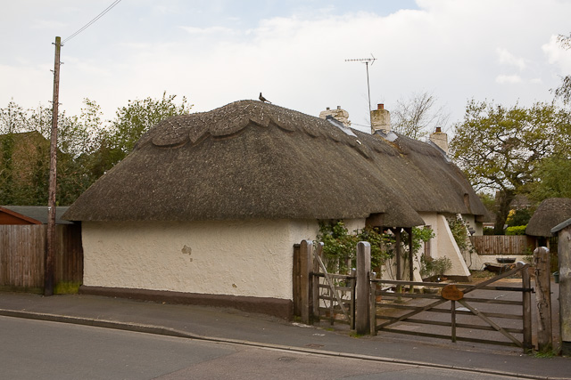
Image: © Peter Facey Taken: 12 May 2010
A low building aboujt 24 metres long.
Images are licensed for reuse under creativecommons.org/licenses/by-sa/2.0
Image Location


Leaflet Map data © OpenStreetMap
Latitude
50.782627
Longitude
-1.736256