Cycle contraflow, St Mark's Road, Mitcham
Introduction
The photograph on this page of Cycle contraflow, St Mark's Road, Mitcham by Stephen Craven as part of the Geograph project.
The Geograph project started in 2005 with the aim of publishing, organising and preserving representative images for every square kilometre of Great Britain, Ireland and the Isle of Man.

There are currently over 7.5m images from over 14,400 individuals and you can help contribute to the project by visiting https://www.geograph.org.uk
Cycle contraflow, St Mark's Road, Mitcham
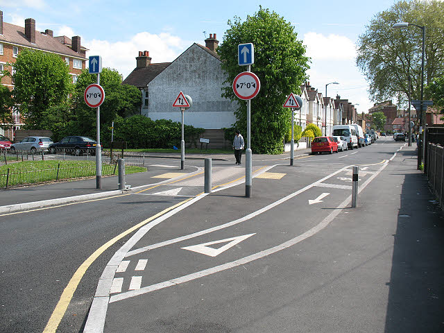
Image: © Stephen Craven Taken: 10 May 2010
The contraflow lane allows cyclists to enter the pedestrianised town centre at the western end of St Mark's Road, while motorised traffic is diverted along Armfield Crescent to join the inner relief road.
Images are licensed for reuse under creativecommons.org/licenses/by-sa/2.0
Image Location
Latitude
51.406402
Longitude
-0.161242