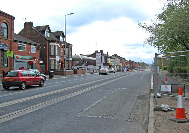
Tram lines on Ashton New Road (A662), Clayton
Introduction
The photograph on this page of Tram lines on Ashton New Road (A662), Clayton by P L Chadwick as part of the Geograph project.
The Geograph project started in 2005 with the aim of publishing, organising and preserving representative images for every square kilometre of Great Britain, Ireland and the Isle of Man.
There are currently over 7.5m images from over 14,400 individuals and you can help contribute to the project by visiting https://www.geograph.org.uk

Image: © P L Chadwick Taken: 2 May 2010
The Manchester Metrolink extension to Droylsden (and eventually Ashton-under-Lyne) will be street-running along the A662 for 2.5 kilometres (approx 1.5 miles), from Clayton to Droylsden. There will be a further street-running section east of the Droylsden stop, as part of the further extension to Ashton-under-Lyne. The section of track in this photograph is very near the start of the street-running section in Clayton, and it doesn't presently run for very far. There is a huge amount of further track to be laid, and in early May 2010 just a few further bits of work had been done at various points on the A662. Once the track is laid, then the overhead wiring will have to be installed. The section to Droylsden is due to open in Spring 2012, but the section to Ashton will be later. Image

