The former Manor House, Holsworthy
Introduction
The photograph on this page of The former Manor House, Holsworthy by Humphrey Bolton as part of the Geograph project.
The Geograph project started in 2005 with the aim of publishing, organising and preserving representative images for every square kilometre of Great Britain, Ireland and the Isle of Man.

There are currently over 7.5m images from over 14,400 individuals and you can help contribute to the project by visiting https://www.geograph.org.uk
The former Manor House, Holsworthy
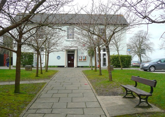
Image: © Humphrey Bolton Taken: 6 Apr 2010
This had become the rectory by 1717, and was enlarged twice. The Urban District Council purchased it in 1947 for use as offices. (Information from the town trail booklet)
Images are licensed for reuse under creativecommons.org/licenses/by-sa/2.0
Image Location
Latitude
50.809962
Longitude
-4.354678