Houses on Sand Down Lane
Introduction
The photograph on this page of Houses on Sand Down Lane by Derek Harper as part of the Geograph project.
The Geograph project started in 2005 with the aim of publishing, organising and preserving representative images for every square kilometre of Great Britain, Ireland and the Isle of Man.

There are currently over 7.5m images from over 14,400 individuals and you can help contribute to the project by visiting https://www.geograph.org.uk
Houses on Sand Down Lane
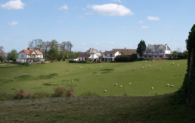
Image: © Derek Harper Taken: 4 May 2010
A view from the lane above Pump Street, of houses on the hill east of Newton St Cyres near its primary school, across a little combe between the two lanes.
Images are licensed for reuse under creativecommons.org/licenses/by-sa/2.0
Image Location
Latitude
50.7681
Longitude
-3.585335