The barn at Court Farm, Pembrey
Introduction
The photograph on this page of The barn at Court Farm, Pembrey by Nigel Davies as part of the Geograph project.
The Geograph project started in 2005 with the aim of publishing, organising and preserving representative images for every square kilometre of Great Britain, Ireland and the Isle of Man.

There are currently over 7.5m images from over 14,400 individuals and you can help contribute to the project by visiting https://www.geograph.org.uk
The barn at Court Farm, Pembrey
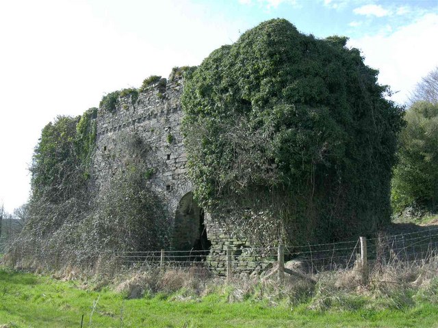
Image: © Nigel Davies Taken: 11 Apr 2010
This barn to the south of the house (Image) is the least damaged building. It is also easily visible from the adjacent public right of way.
Images are licensed for reuse under creativecommons.org/licenses/by-sa/2.0
Image Location
Latitude
51.690625
Longitude
-4.276118