Site of Bonnybridge (Caledonian) Station
Introduction
The photograph on this page of Site of Bonnybridge (Caledonian) Station by Ben Brooksbank as part of the Geograph project.
The Geograph project started in 2005 with the aim of publishing, organising and preserving representative images for every square kilometre of Great Britain, Ireland and the Isle of Man.

There are currently over 7.5m images from over 14,400 individuals and you can help contribute to the project by visiting https://www.geograph.org.uk
Site of Bonnybridge (Caledonian) Station
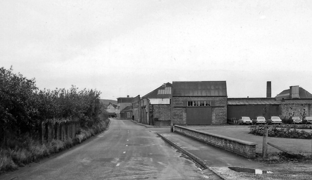
Image: © Ben Brooksbank Taken: 25 Sep 1974
View eastwards (probably), towards former buffer-stops of old terminus of branch from Greenhill, closed to passengers 22/7/30, to goods 7/12/64. (Nothing railway-related to be seen!)
Images are licensed for reuse under creativecommons.org/licenses/by-sa/2.0
Image Location
Latitude
55.997543
Longitude
-3.890005