Footpath junction near Coombe farm byway
Introduction
The photograph on this page of Footpath junction near Coombe farm byway by David Anstiss as part of the Geograph project.
The Geograph project started in 2005 with the aim of publishing, organising and preserving representative images for every square kilometre of Great Britain, Ireland and the Isle of Man.

There are currently over 7.5m images from over 14,400 individuals and you can help contribute to the project by visiting https://www.geograph.org.uk
Footpath junction near Coombe farm byway
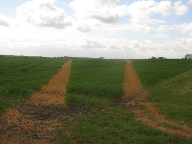
Image: © David Anstiss Taken: 3 May 2010
Both of these paths lead from a byway between Coombe Farm and Canterbury Road, through a large field, towards another footpath (running north-south, between Manor Pound Lane and Bircholt Forstal).
Images are licensed for reuse under creativecommons.org/licenses/by-sa/2.0
Image Location


Leaflet Map data © OpenStreetMap
Latitude
51.138189
Longitude
0.987058