The road into Dishforth
Introduction
The photograph on this page of The road into Dishforth by Gordon Hatton as part of the Geograph project.
The Geograph project started in 2005 with the aim of publishing, organising and preserving representative images for every square kilometre of Great Britain, Ireland and the Isle of Man.

There are currently over 7.5m images from over 14,400 individuals and you can help contribute to the project by visiting https://www.geograph.org.uk
The road into Dishforth
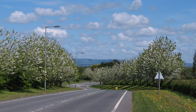
Image: © Gordon Hatton Taken: 9 May 2010
Section of road linking Dishforth with the outside world. This road dates from the 1970's when the A168 was rebuilt, taking traffic away from the village on to a dual carriageway, thus leaving Dishforth as a cul-de-sac.
Images are licensed for reuse under creativecommons.org/licenses/by-sa/2.0
Image Location
Latitude
54.153422
Longitude
-1.424248