Building site on former greenbelt land
Introduction
The photograph on this page of Building site on former greenbelt land by Thomas Nugent as part of the Geograph project.
The Geograph project started in 2005 with the aim of publishing, organising and preserving representative images for every square kilometre of Great Britain, Ireland and the Isle of Man.

There are currently over 7.5m images from over 14,400 individuals and you can help contribute to the project by visiting https://www.geograph.org.uk
Building site on former greenbelt land
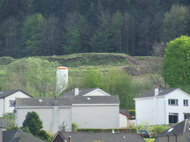
Image: © Thomas Nugent Taken: 2 May 2010
The white houses are on Station Avenue and Kip Avenue. The building site is beyond the railway line in what was greenbelt land until Inverclyde Council made a controversial land swap deal with the developers. Berfern Plantation is in the background. Viewed from Ardgowan Policies.
Images are licensed for reuse under creativecommons.org/licenses/by-sa/2.0
Image Location


Leaflet Map data © OpenStreetMap
Latitude
55.906686
Longitude
-4.870709