Hendredenny Drive, looking towards St Cenydd Rd
Introduction
The photograph on this page of Hendredenny Drive, looking towards St Cenydd Rd by John Lord as part of the Geograph project.
The Geograph project started in 2005 with the aim of publishing, organising and preserving representative images for every square kilometre of Great Britain, Ireland and the Isle of Man.

There are currently over 7.5m images from over 14,400 individuals and you can help contribute to the project by visiting https://www.geograph.org.uk
Hendredenny Drive, looking towards St Cenydd Rd
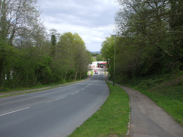
Image: © John Lord Taken: 9 May 2010
At the bottom of the hill the green railings at each side of the road mark the position of the bridge across the Nant yr Aber
Images are licensed for reuse under creativecommons.org/licenses/by-sa/2.0
Image Location
Latitude
51.582643
Longitude
-3.243459