Howe Farm, Watlington
Introduction
The photograph on this page of Howe Farm, Watlington by Simon Mortimer as part of the Geograph project.
The Geograph project started in 2005 with the aim of publishing, organising and preserving representative images for every square kilometre of Great Britain, Ireland and the Isle of Man.

There are currently over 7.5m images from over 14,400 individuals and you can help contribute to the project by visiting https://www.geograph.org.uk
Howe Farm, Watlington
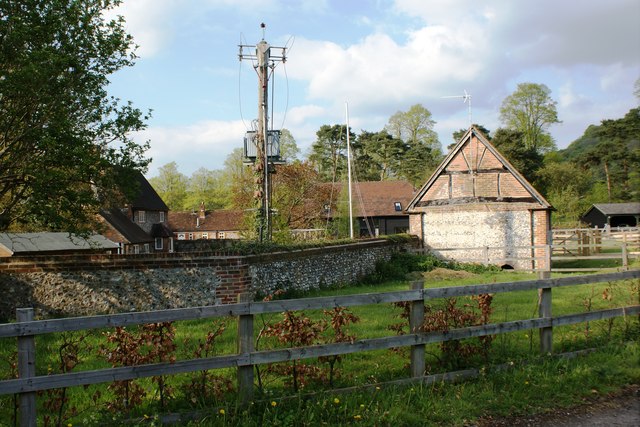
Image: © Simon Mortimer Taken: 4 May 2010
The farmhouse of Howe Farm or Howe Combe Farm sits in a dry valley to the south of Watlington Hill and dates back to around 1620.
Images are licensed for reuse under creativecommons.org/licenses/by-sa/2.0
Image Location
Latitude
51.624193
Longitude
-0.991214